BERGMENSCH BLOG
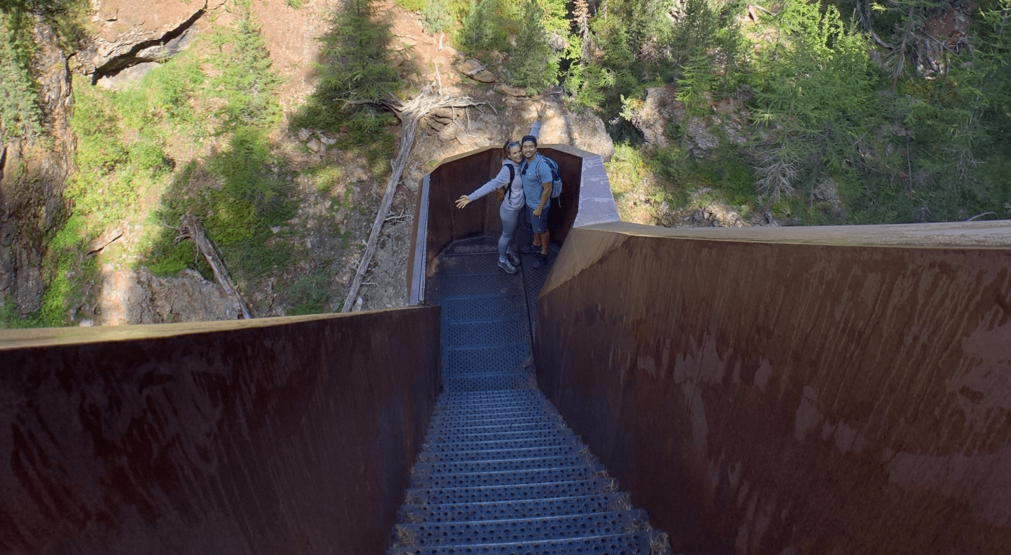
Plima Gorge Trail (South Tyrol)
- Start: Martell Valley, parking lot at the head of the valley
- Destination: Zufallhütte (refuge)
- Difficulty: Easy
- Signposts: "Erlebnis Plima-Schlucht" (Plima Gorge Adventure)
- Length: 6 km
- Walking time: 1 hour (ascent); 1 hour (descent)
- Elevation gain: 250 m
- Elevation at destination: 2265 m
- Refreshment stops: Zufallhütte (refuge)
- Experienced: Mid-September 2020
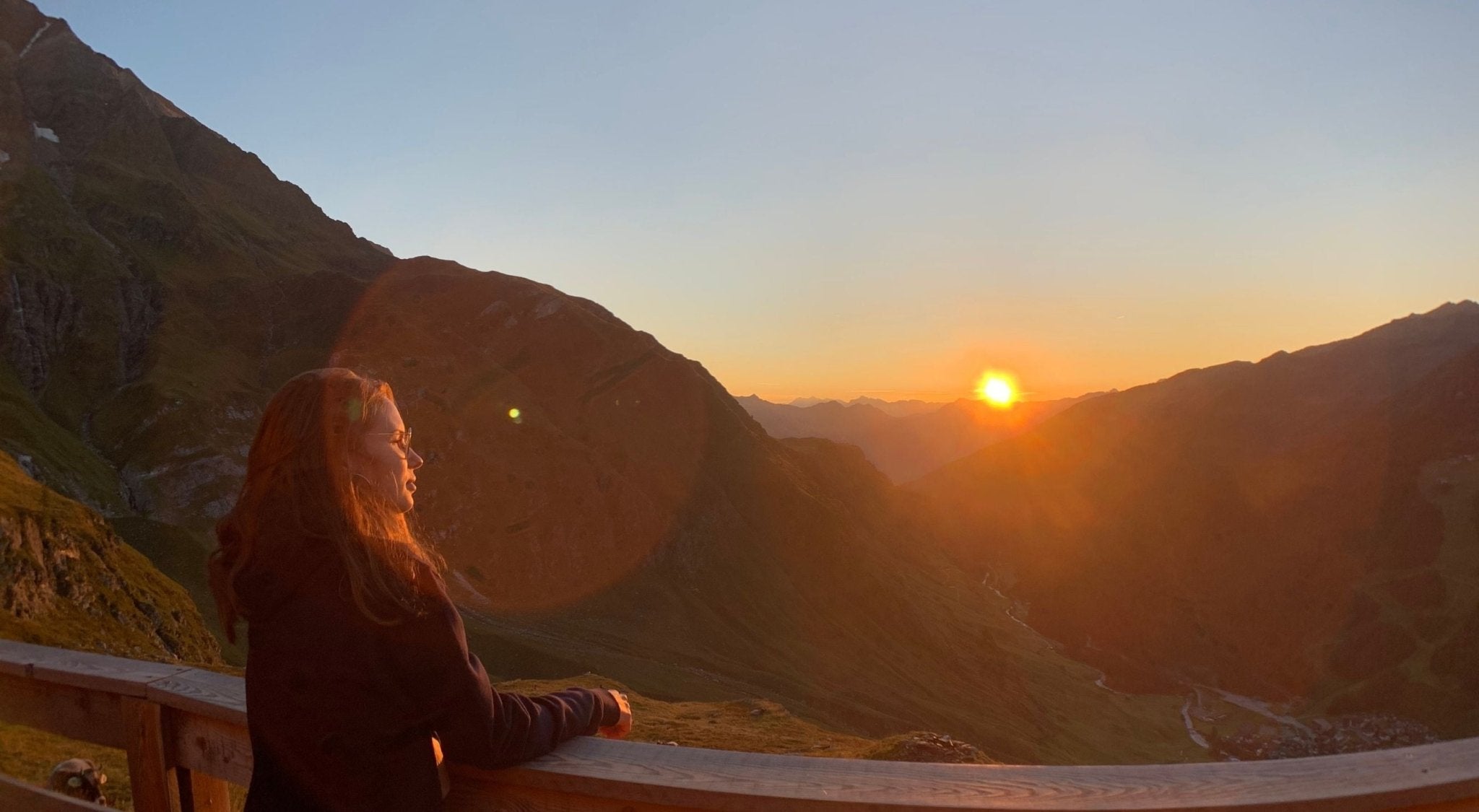
Sunrise at Schneidalm (South Tyrol)
- Start: Pfelders
- Destination: Schneidalm
- Difficulty: Easy to moderate
- Trail marker: No. 6A
- Trail length: 7.2 km
- Walking time: 1.5 hours (ascent); 1.5 hours (descent)
- Altitude difference: 520 m
- Altitude of destination: 2159 m
- Refreshment stops: There are restaurants in the village, otherwise not until the Schneidalm
- Experienced: Early September 2020
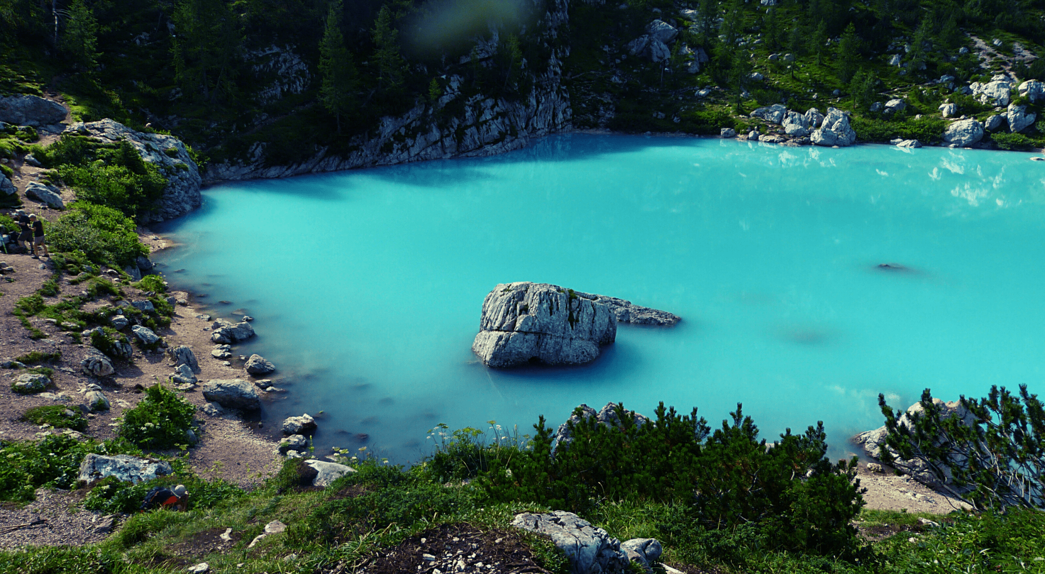
From Passo Tre Croci to Lake Sorapis (Dolomites)
Beautifully situated amidst the Dolomites in the province of Belluno, surrounded by rock faces, lies Lake Sorapis. Its shimmering turquoise water is impossible to miss. A true dream destination for all mountain lovers!
- Start: Passo Tre Croci
- Destination: Lake Sorapis
- Difficulty: Medium
- Trail marker: 215
- Trail length: 11 km
- Walking time: 2 hours (ascent), 2 hours (descent)
- Altitude difference: 300 m
- Altitude at destination: 1,900 m
- Refreshment stops: Vandelli Hut
- Experienced: Early August 2018
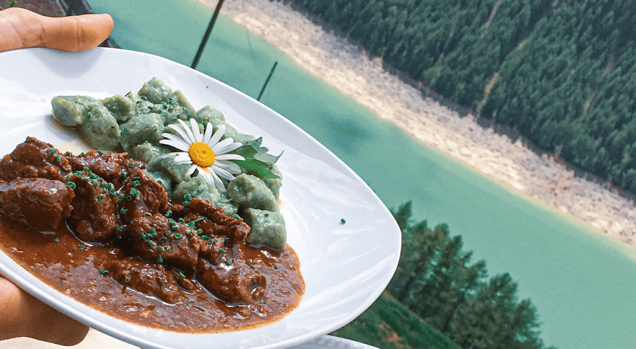
The Right Nutrition for Mountain People
Not only does your hiking equipment need to be suitable, but the food you take with you should also be considered!
Food provides us with energy for our mountain tour. However, it is also responsible for an extra gram or two that you carry on your back.
Of course, how much food you pack always depends on the hiking route you choose. If you pass many alpine huts, you will have less difficulty getting food than if you are wandering through the wilderness alone. 😉
But surely no one wants to go up the mountain hungry or with low blood sugar.
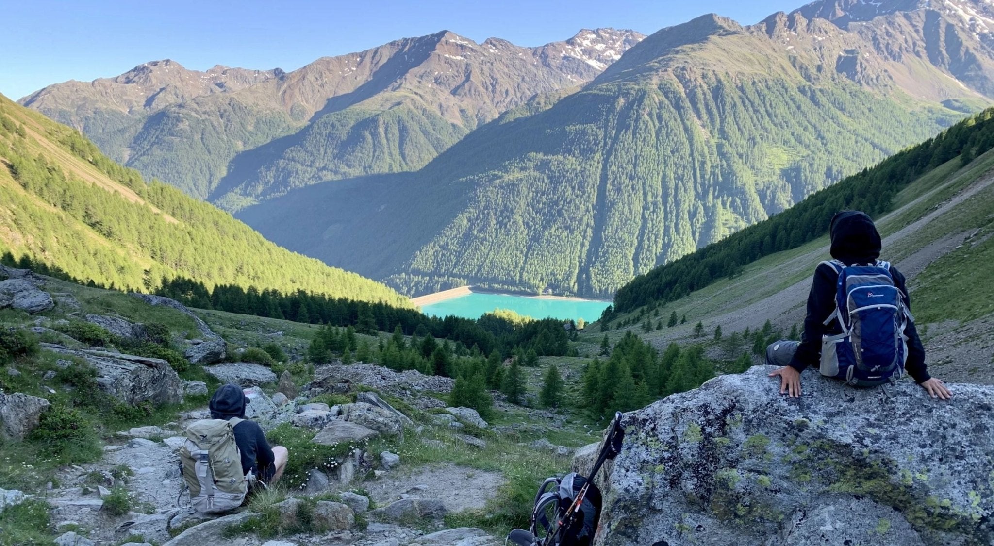
2-day Ötztal hike (Schnalstal - Vent)
- Day 1: Kurzras - Schöne Aussicht - Vent
- Day 2: Vent - Similaunhütte - Vernagt
The archaeological hike (Schnalstal - Vent) through the Ötztal leads through the fascinating mountain landscape that shepherds and their sheep have been traversing for centuries.
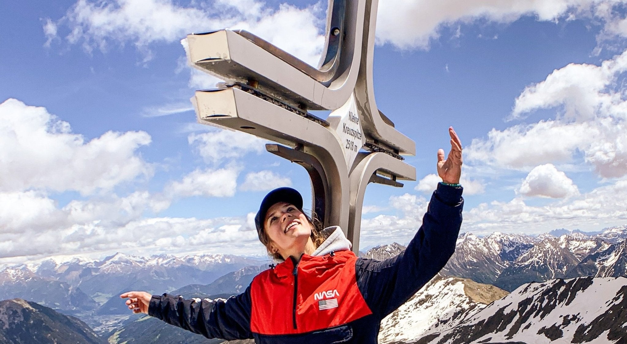
Summit Tour Jaufen Pass (South Tyrol)
Summit tour from Jaufen Pass, via Fleckner, to Glaitner Hochjoch, past the mountain lake "Übelsee" to Kleine Kreuzspitze. The panoramic view over the Passeier Valley and Ratschings is breathtaking!
- Start: Jaufen Pass/Römerkehre car park
- Destination: Kleine Kreuzspitze
- Difficulty: Moderate
- Trail marker: No. 12
- Trail length: 7.2 km
- Walking time: 3-3.5h
- Elevation gain: 750 m
- Altitude at destination: Fleckner (2331m), Glaitner Hochjoch (2389m), Übelsee (2320m), Kleine Kreuzspitze (2518m)
- Refreshment stops: Flecknerhütte
- Experienced: Early June 2020
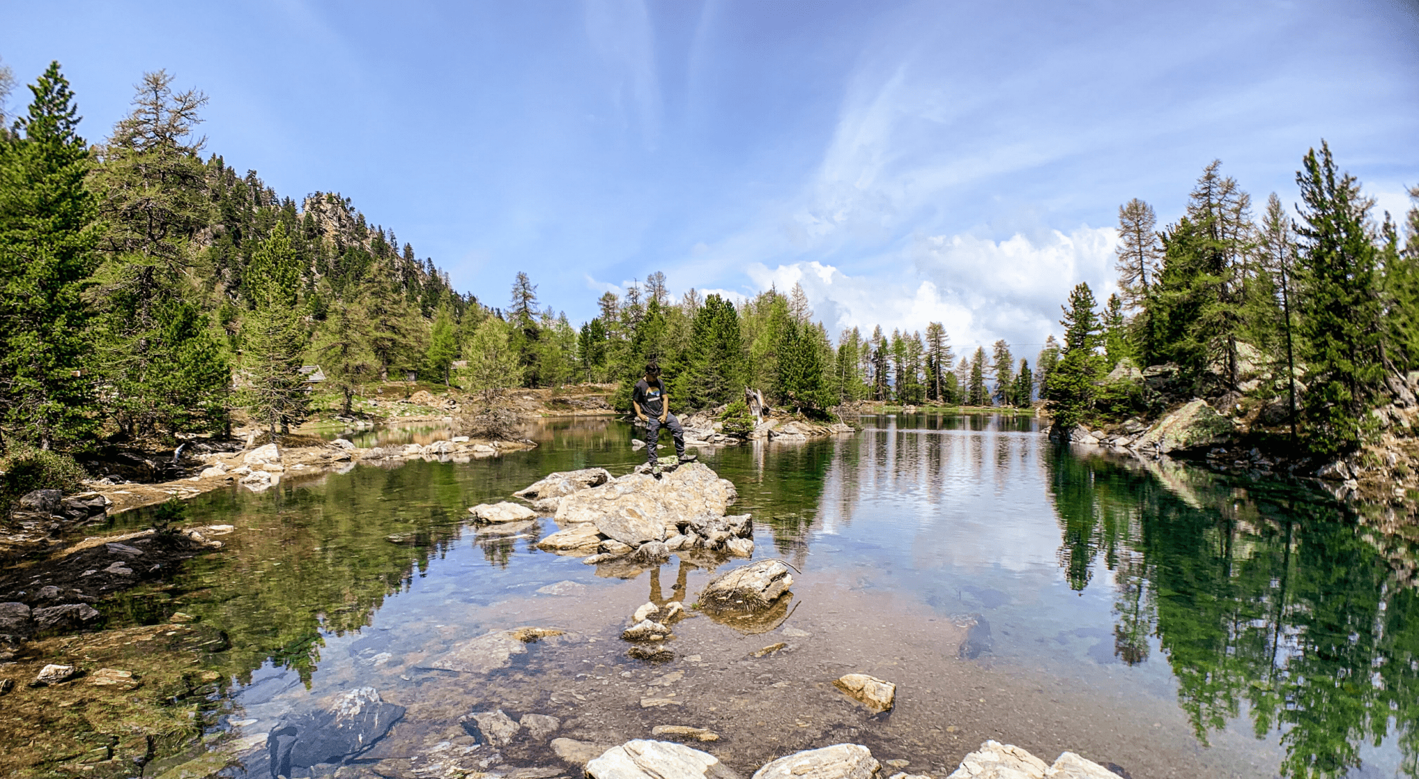
Zirmtalsee + Zirmtalalm (South Tyrol)
Lake Zirmtal - an idyllic mountain lake with blue, crystal-clear water in Val Venosta. The lake is surrounded by numerous stone pines, hence its name. Right next to it is the Zirmtal Alm, awarded as South Tyrol's most beautiful alpine pasture in 2014. A wonderful spot to linger and soak up the sun!
- Start: Parking lot Schartegg (above Kastelbell)
- Destination: Zirmtalsee + Zirmtal Alm
- Difficulty: Easy-Moderate
- Signposts: No. 9, No. 18
- Trail length: approx. 8 km (ascent and descent)
- Walking time: approx. 1 hour 45 minutes (ascent), 1 hour (descent)
- Altitude difference: approx. 655 m
- Altitude of destination: 2,114 m above sea level
- Refreshment stops: Zirmtaler Alm
- Experienced: End of May 2020